
From Field Marks to Digital Assets
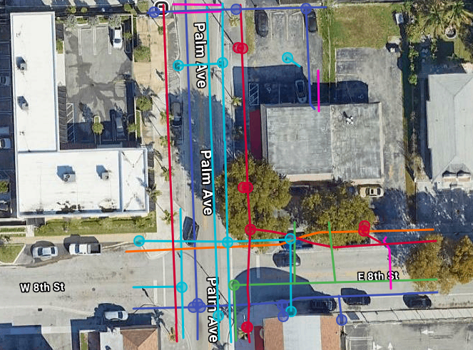
We don't just mark the ground; we provide georeferenced utility maps that serve as a permanent digital record for your project’s lifecycle.
Adhering to the ASCE 38-02 Standard
We provide Subsurface Utility Engineering (SUE) data across all four quality levels to ensure your project meets the highest industry safety standards.
LEVEL D (Records)
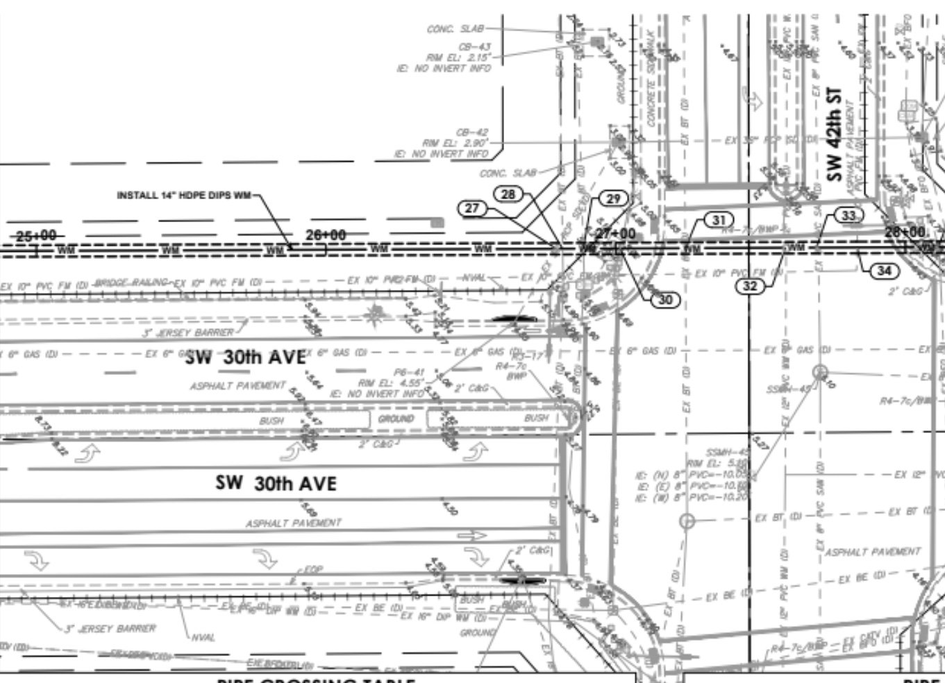
Historical Review: We gather and analyze existing as-built drawings, utility owner records, and public documents to identify potential conflicts early.
LEVEL B (Designating)
OUR CORE SPECIALTY: Utilizing GPR and EM induction to confirm the horizontal position and alignment of all subsurface utilities.
LEVEL A (Daylighting)
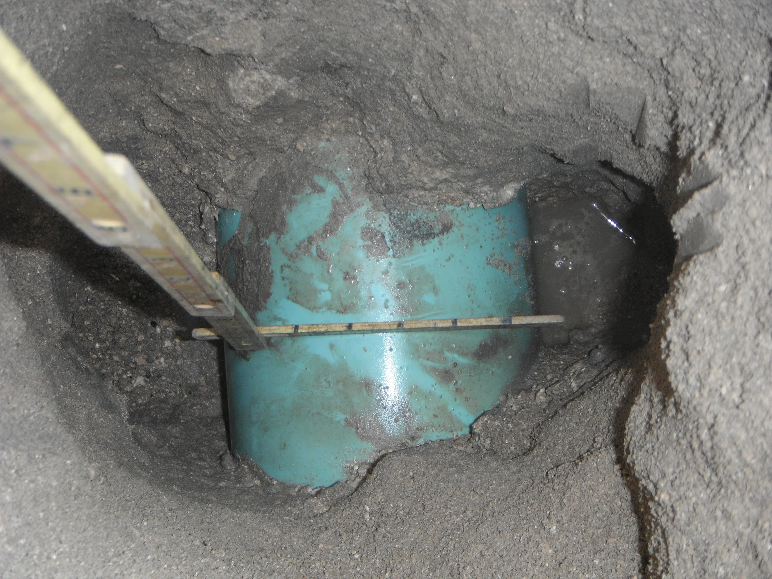
Positive Verification: Providing precise vertical and horizontal data (x, y, z coordinates) via non-destructive Vacuum Excavation (Potholing).
LEVEL C (Surface)
Field Verification: Surveying visible surface features—such as manholes, valve boxes, and pedestals—to correlate and verify utility records.
Why use US Utility Potholing for Locating?
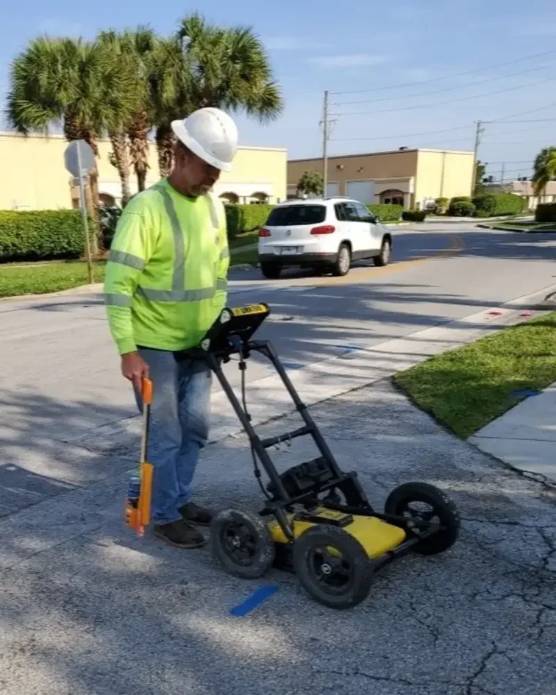
GPR (Ground Penetrating Radar)
Non-destructive subsurface imaging to locate PVC, fiber optics, and concrete-encased duct banks.
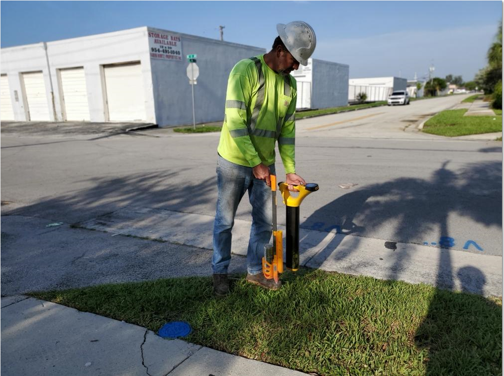
Air-Vacuum Excavation
Safe, non-destructive 'potholing' to provide 100% positive visual verification of utility depth.
KMZ & CAD Mapping
Georeferenced digital overlays (KMZ/CAD) for project planning and permanent site records.
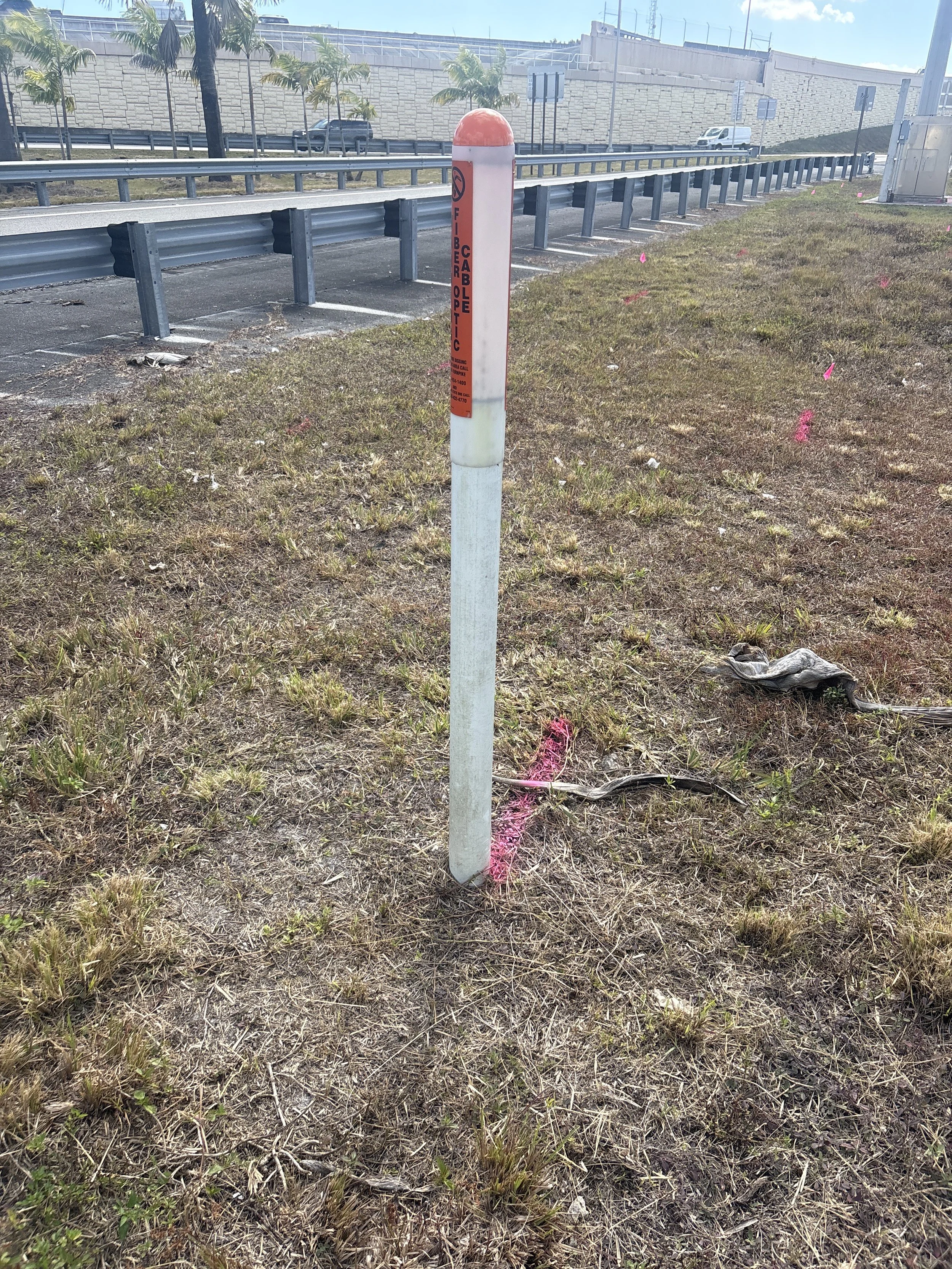
Electromagnetic Induction
Precision tracing of metallic lines and live power using high-frequency signal induction.
Private Utility Locating & Potholing Services
Precision GPR scanning and safe air excavation for contractors, developers, and municipalities across Florida. We find—and verify—what 811 misses.
Locates private lines that 811 does not mark—including electric, water, and gas beyond the meter.
Non-destructive vacuum excavation to safely expose underground utilities for positive visual identification.
High-frequency Ground Penetrating Radar technology to visualize subsurface obstructions before you dig.
Same-day and 24/7 emergency service available. Licensed & insured in Florida.